Click on any picture to open a slideshow. Once there, you can click the link in the caption for the full-size picture.
In 1997 my Dad had back surgery. As a thank you for taking care of the lawn and things around the house, my parents bought me an introductory flight at LumanAir Aviation Services. On a beautiful Saturday morning my Dad and I drove out to Aurora Municipal Airport. An introductory flight is intended to be an introduction into flight training. The CFI that did my flight invited Dad to ride along if he wanted, and he jumped at the chance. He took these pictures to capture the experience.
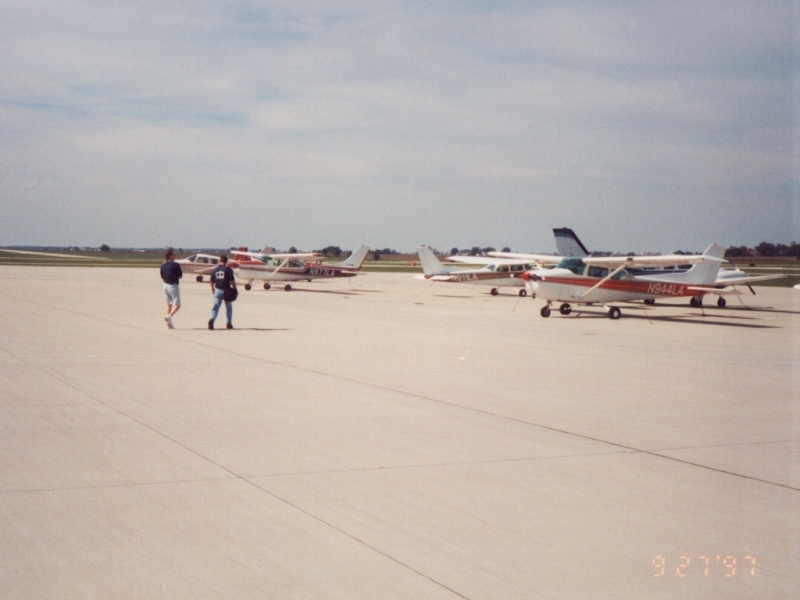 After handling the introductions and explaining what we would be doing, here I am walking out to the plane with the flight instructor. |
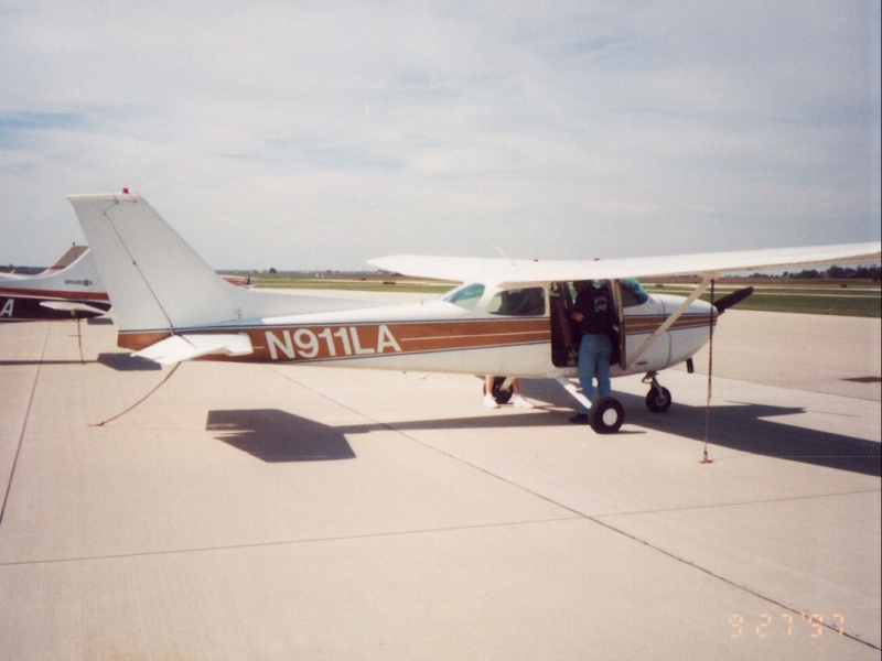 N911LA was a 1975 Cessna 172. LumanAir has since replaced it with a newer 172. |
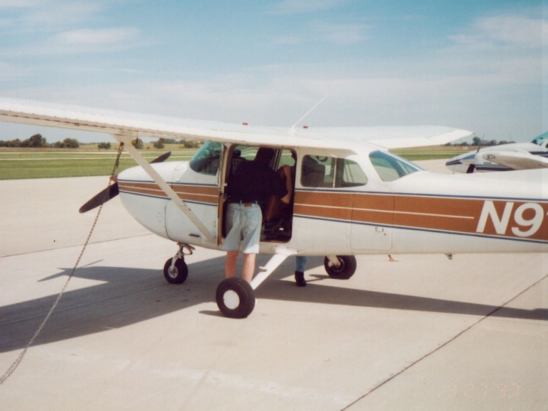 As we pre-flighted the plane, my Dad walked around taking pictures. |
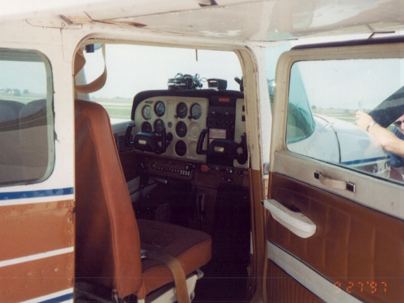 The interior. The CFI was explaining to me how to check the air intake areas. |
 I believe this is on takeoff, but it might be taxiing. |
 Airborne! We took off on Runway 27. |
 We've turned south, this is looking southwest out the right side of the plane. That is Route 30 heading into Big Rock. |
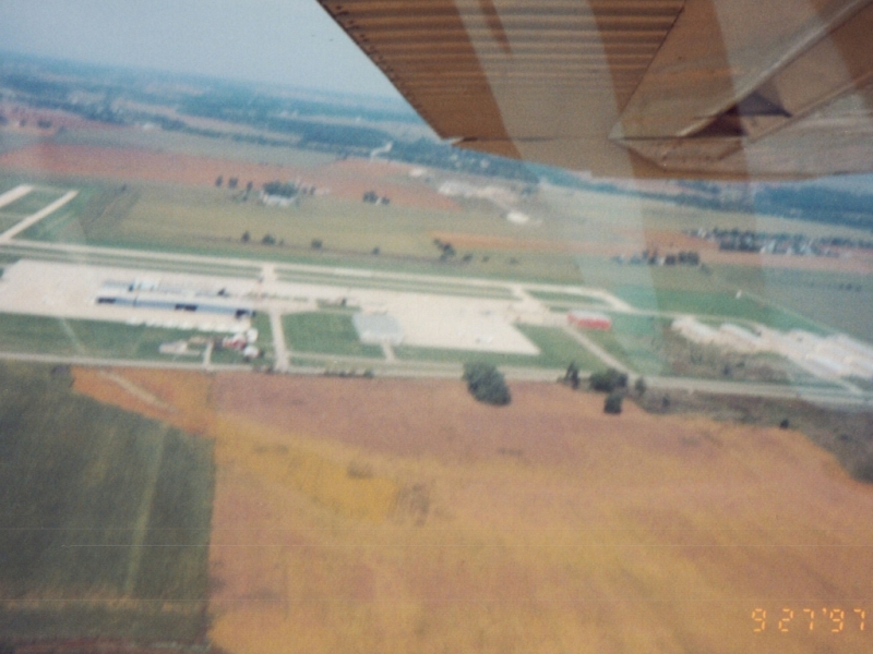
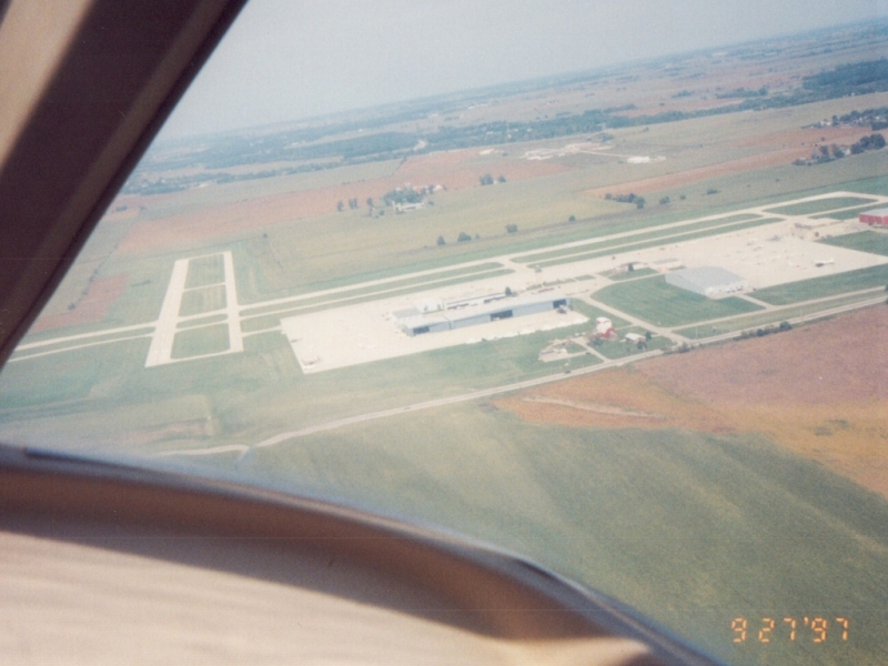 Departing the airport to the southeast, Dad took this out the rear window. |
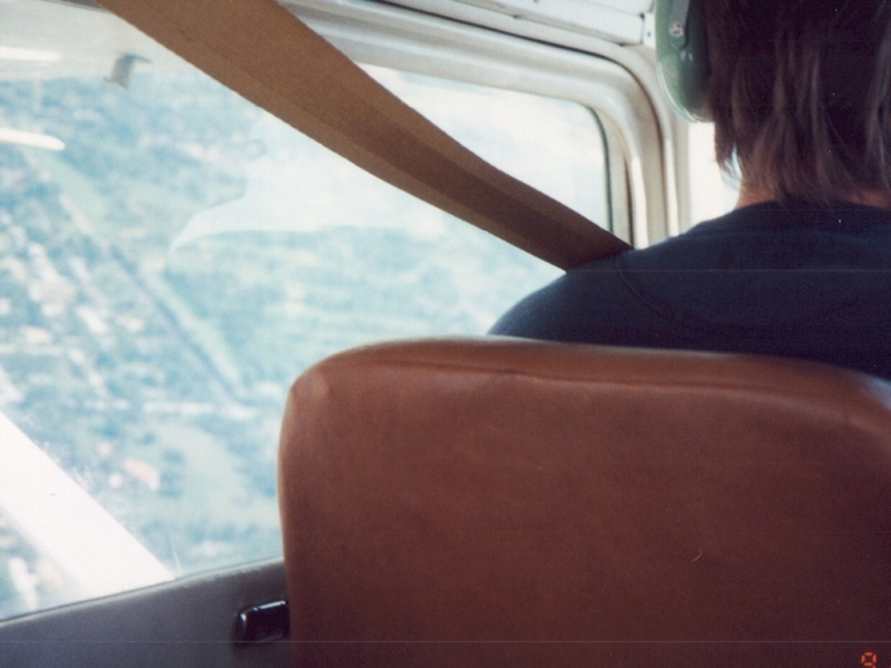
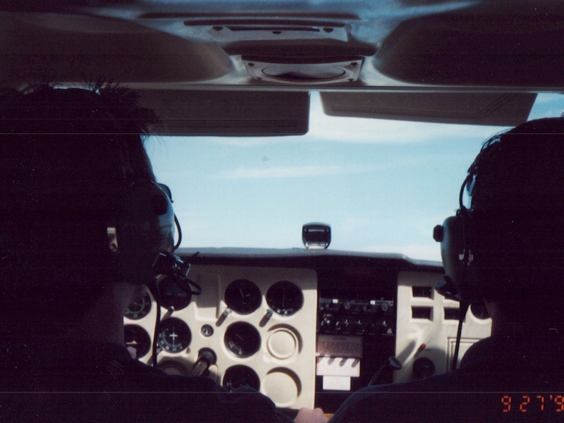
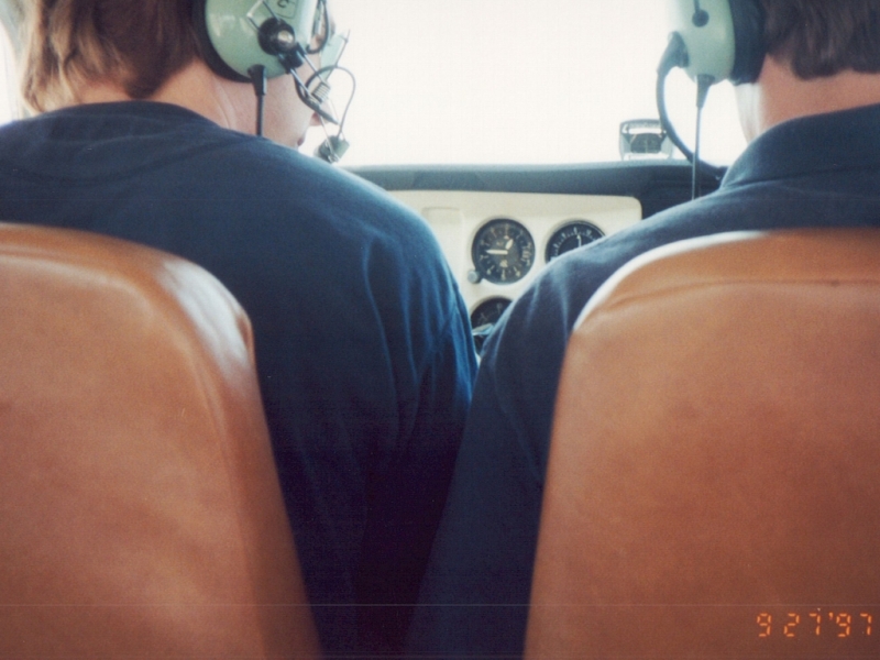
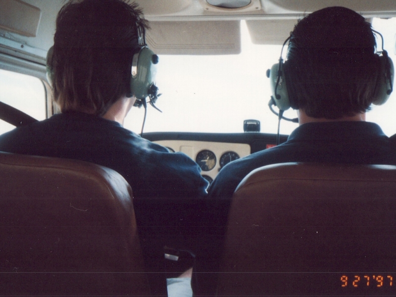 I am in the left seat. You can see there isn't that much shoulder room in a 172. |
 It appears we are doing a left turn. Once we were in the air at altitude, the CFI had me take over the controls. He demonstrated straight & level flight, turns, and stalls. |
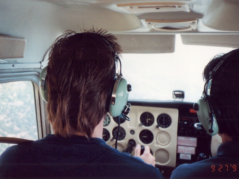 Proof that I am on the controls. LOL There were only two headsets, so Dad couldn't hear our conversation. |
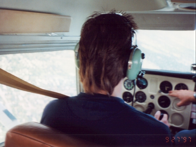 The CFI is pointing to the altimeter. One instrument to the left of that (after the space) is the attitude indicator. You can see we are banked to the left. |
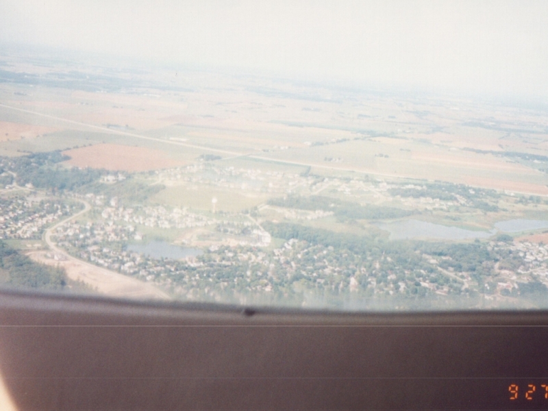 It took me awhile searching Google Maps, but I finally figured out that this is the north part of Sugar Grove, looking north. That is I-88 crossing the picture across the middle, the intersection with Bliss Road crossing over it just over the center point of the picture. Route 56 is just to the right of the picture. This proves we were north and east of the airport, which I do not remember doing! |
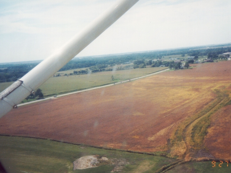
 I believe this is the part of Sugar Grove south of Route 30 just east of the airport and was taken earlier in the flight looking east. Route 30 is on the left and the railroad tracks are on the right. |
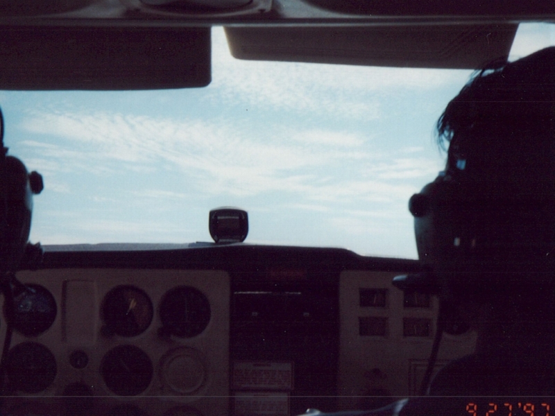
 Straight & level and blue skies. |
 At one point in the flight, the CFI wanted to demonstrate that pulling the power didn't mean the plane would drop straight down like a rock. So he pulled the throttle all the way back and just had me hold the plane level. Dad, not being able to hear what was being said, got an interesting ride! |
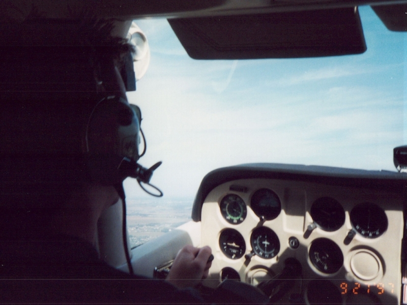 Climbing. |
 Flying at about 2,500 feet. |
 |
 I am looking down, and we are now at only 750'. He must have been explaining the flap controls. |
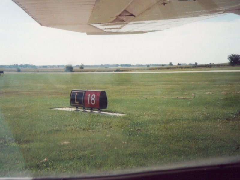
 We have now entered the pattern and are on downwind for Runway 27. |
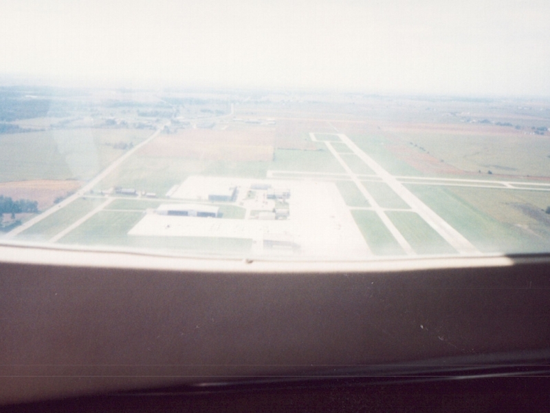 On base, looking west. This looks a little high to me to be coming in to land, but that would have been the only time we were on this end of the airport. |
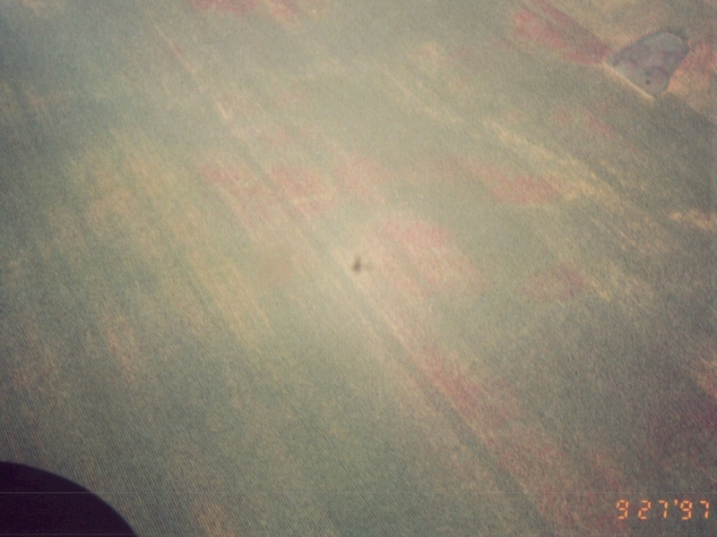 This picture was taken earlier in the flight, but it cracks me up because it is something I would have done - take a picture of our shadow crossing the fields. |